-
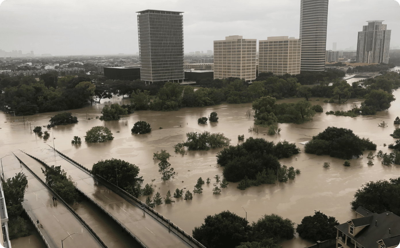
Gulf Coast exposure: Southeast Texas can experience tropical-storm winds, hurricane winds, storm surge, tornadoes, and prolonged rainfall. Coastal and bay-adjacent communities face additional surge and saltwater exposure, while inland communities can suffer severe freshwater flooding and wind damage.
-
Heavy rainfall: Tropical systems can carry deep moisture and produce repeated rain bands. When bands train over the same area, rainfall totals, not the storm’s category, may become the dominant hazard.
-
Bayous and watersheds: Harris County’s network includes 23 major watersheds. Rain falling on roofs, streets, parking lots, yards, and channels moves according to watershed boundaries and local drainage conditions.[1]
-
Low-lying terrain and urban runoff: Flat terrain slows drainage. Impervious surfaces such as roofs and pavement increase runoff. Street ponding can occur before a bayou reaches a major flood threshold.
-
Flash flooding: Flooding can develop quickly, especially where intense rainfall exceeds storm-drain capacity. Avoid unnecessary travel and never assume water depth or road integrity.
-
Storm surge: Surge is water pushed inland by a storm’s winds. It can affect coastal areas, bays, channels, and connected waterways. Follow local evacuation-zone guidance; a home-services checklist is not an evacuation plan.
-
Power outages and heat: After a storm, outages can last beyond the wind and rain. Loss of air conditioning in Houston heat and humidity can create health risks, especially for older adults, infants, people with chronic illness, and those who rely on powered medical devices.
-
Why category is not a flood forecast: The Saffir-Simpson scale describes maximum sustained wind. It does not directly measure rainfall flooding, storm surge at a specific property, tornado risk, duration, or infrastructure disruption. A lower-category or tropical storm can still cause life-threatening flooding.
-
Local action: Know your watershed, flood zone, evacuation zone, typical street-ponding locations, and at least two routes to higher ground. Subscribe to official rainfall and bayou-level alerts. Harris County Flood Control District operates a network of more than 250 alert locations and provides near-real-time rainfall and water-level information.[3]